Description
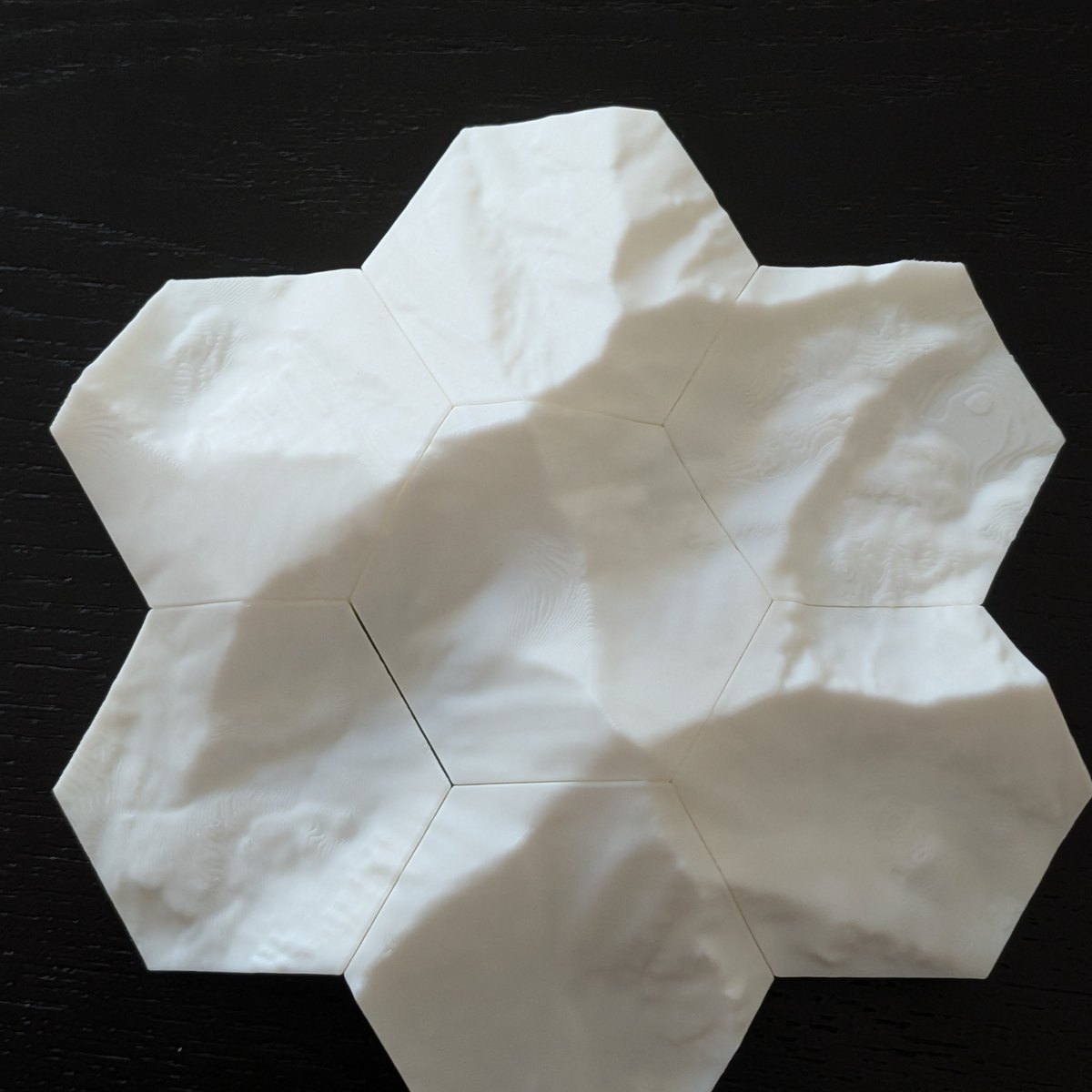
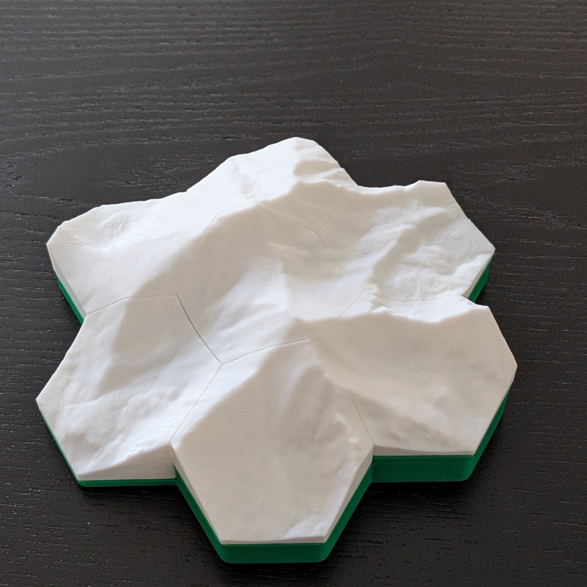
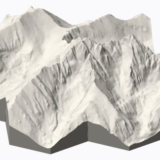
Each set is a hexagonal grid of tiles carrying the real terrain around a Colorado
14er, generated directly from USGS 3DEP elevation data — not sculpted
or stylised. Tiles are cut from one continuous surface on a shared elevation datum, so
ridgelines and valleys run unbroken across every seam when the set is assembled.
How it goes together
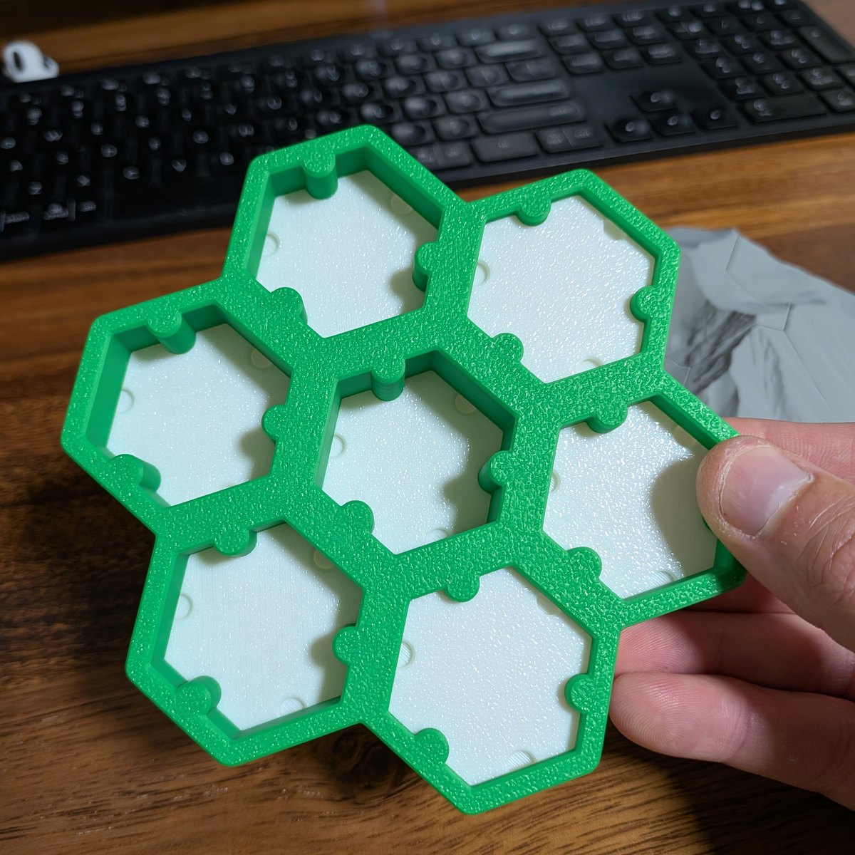
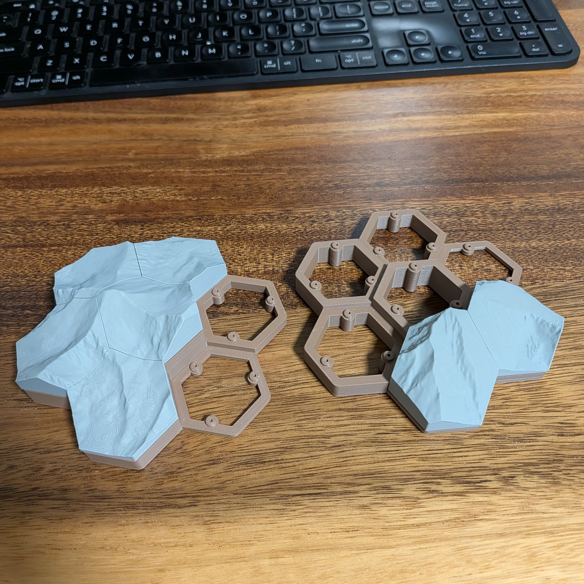
The terrain tiles lift off a printed pedestal. Each tile drops into its own seat and
is held by a small detent, so the assembled model stays put but any tile can be pulled
out and handed to someone. The pedestal absorbs the elevation difference across the set,
which is what keeps the tiles themselves thin.
Sizes
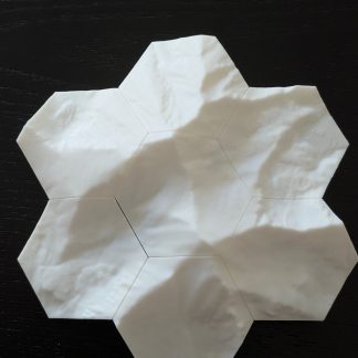
- 7 tiles — a single ring around the summit, roughly 121 × 125 mm (4.8 × 4.9 in).
Built at 1:30,000, the scale where the terrain reads clearly — zoom out
further and the relief flattens into mush.
Finish
Printed in PLA. The terrain tiles are a single color — the landscape reads by its own
shape and shadow rather than by any printed shading — and the pedestal beneath them is your
choice of green, yellow or blue.
Peaks
Pikes, Longs, Grays and Blanca to start. Rugged peaks make the most striking tiles;
gentler walk-ups read flatter, which is a property of the mountain rather than the print.
Elevation data: USGS 3D Elevation Program (public domain).
Reviews
There are no reviews yet.