Description
Choose any ground in Colorado and we build it. Pick a center point, how much
land it covers and how the grid sits, and the tiles are generated from
USGS 3DEP elevation data for exactly that area.
How it works
- Open the designer and find the place you care about.
- Set the area and rotation, and see it in 3D before you commit.
- Come back here with your design attached and check out.
Everything else matches the standard sets: 1:30,000 scale, terrain tiles that
lift off a printed pedestal, and the same 7-tile size.
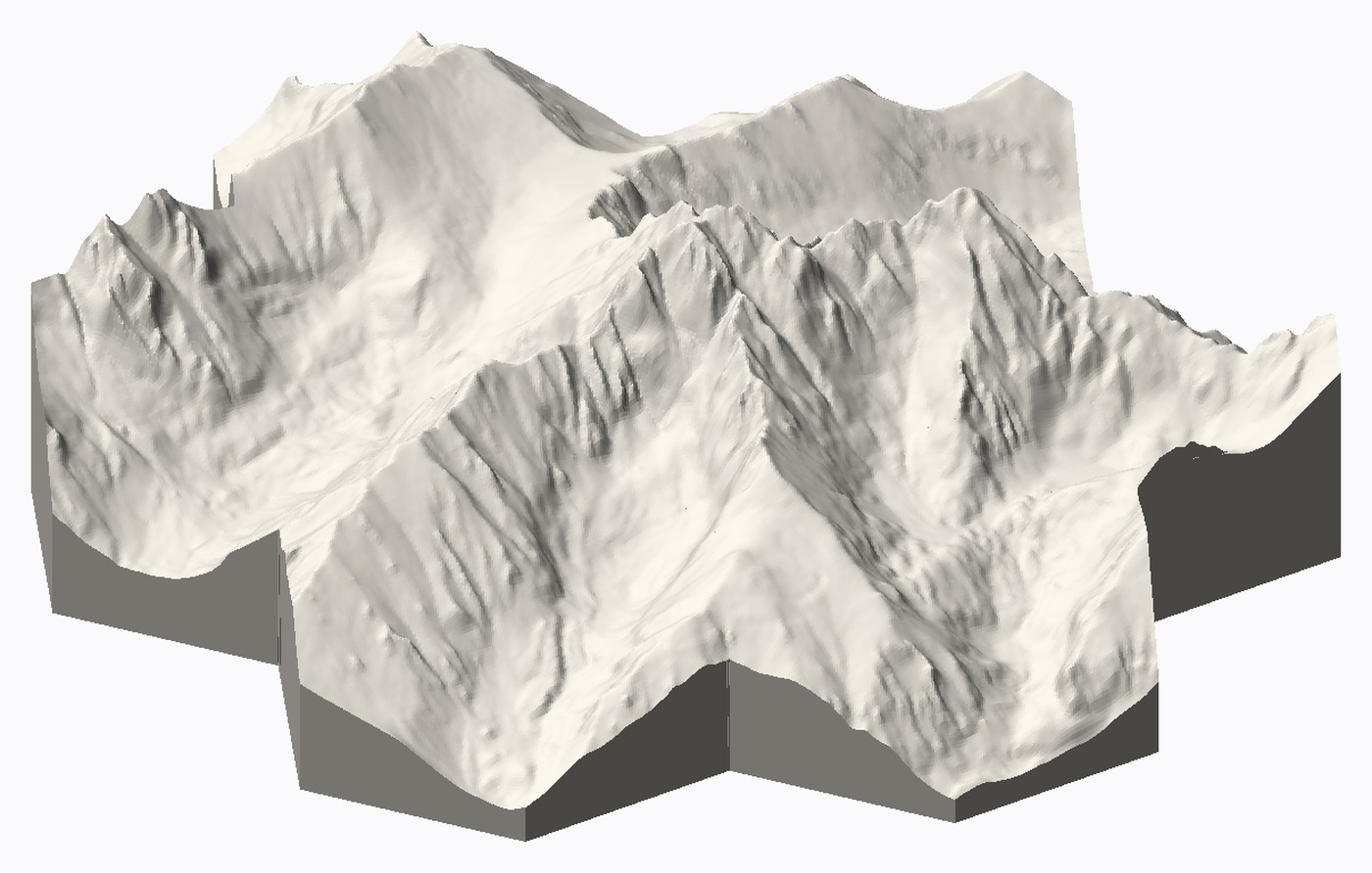
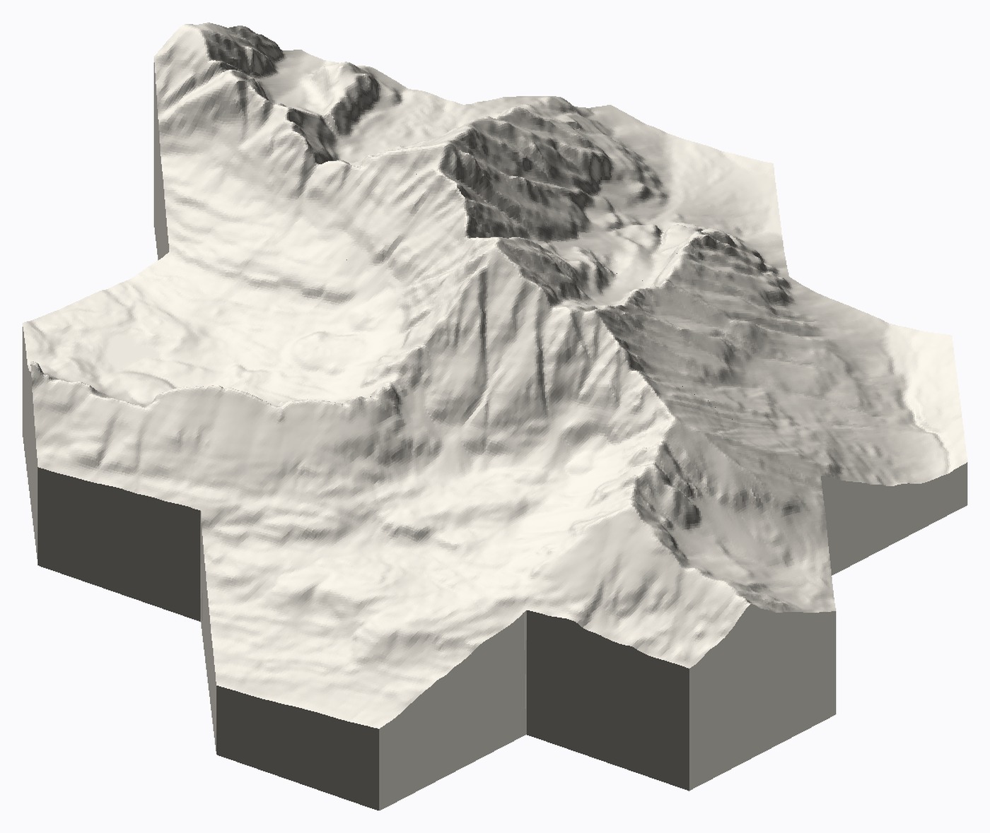
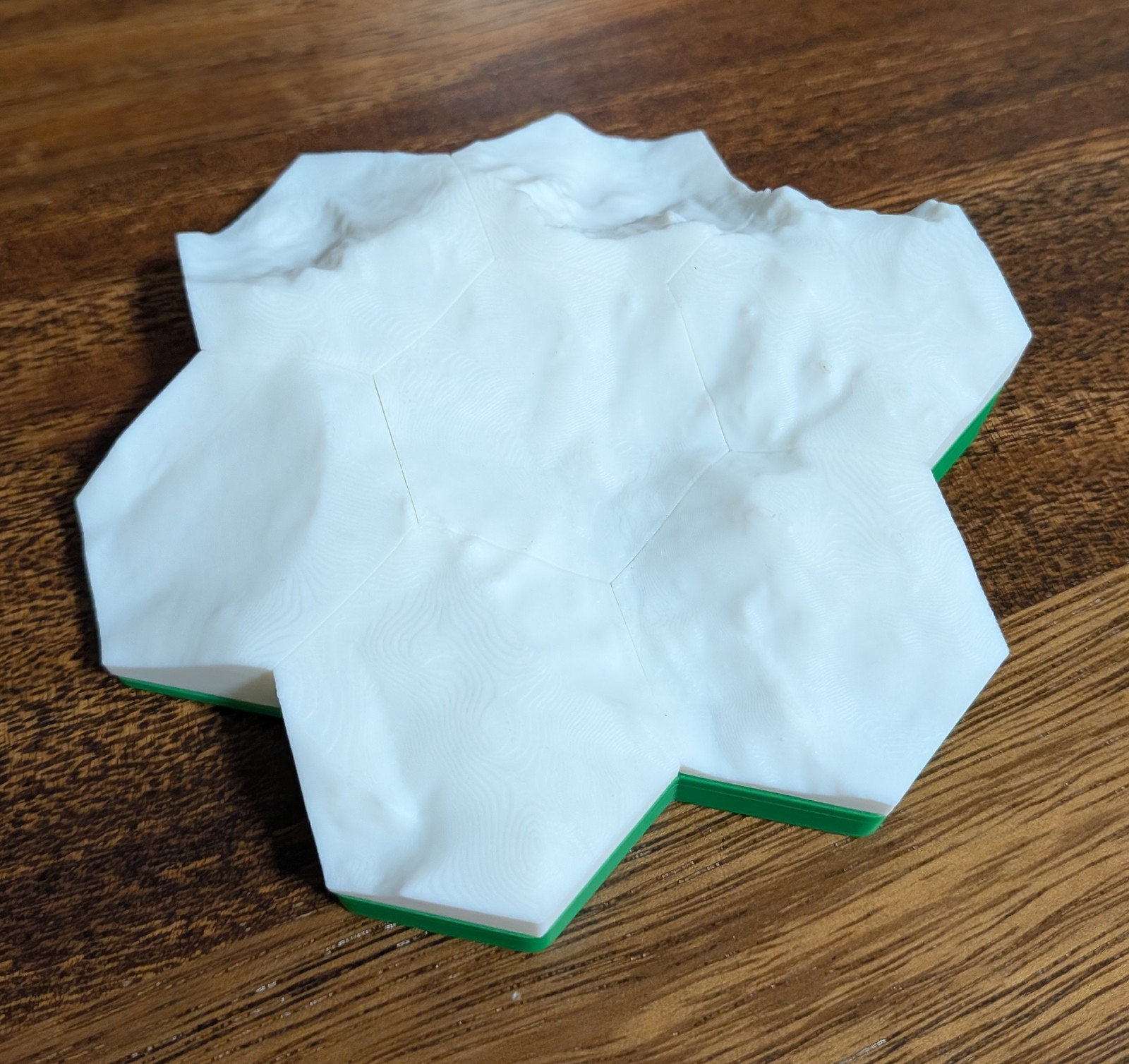
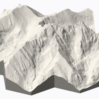
The first two images are previews generated from the real elevation data — Crestone Peak and Maroon Peak, both built by the same generator that makes your tiles. The last is a photograph of a printed set, so you can see the finish and the pedestal.
Elevation data: USGS 3D Elevation Program (public domain).
Reviews
There are no reviews yet.